1 Associate Professor, Department of Geology and Environmental Geosciences, College of Charleston, Charleston, SC 29424, USA. jaumes@cofc.edu
2 Master’s Candidate in Environmental Studies, College of Charleston, Charleston, SC 29424, USA. ksminer@g.cofc.edu
3 PE, President, Bennett Preservation Engineering PC and Adjunct Professor, Historic Preservation and Community Planning Program, College of Charleston, Charleston, SC 29401, USA. CBennett@BennettPE.com
ABSTRACT
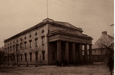
Charleston, South Carolina is unique in both being near the epicenter of the largest earthquake on the east coast of the USA (M ~ 7, August 31, 1886) and having a large stock of unreinforced masonry (URM) buildings that were damaged by this earthquake, repaired, and in many cases still stand today. We are using historical photographs (both pre-and post-earthquake), an 1886 insurance report that describes damage to over 6000 commercial and residential buildings (~1800 URM), and a county-level parcel database to document these “earthquake survivors” and place them in a modern Geographical Information System (GIS). This will allow us to describe the building types in Charleston as they existed at the time of the 1886 earthquake. Changes in Charleston’s street numbering system since 1886 make this effort somewhat challenging. We will describe the current state of this historic earthquake-damaged URM stock and efforts made to repair and reinforce these buildings, including the near ubiquitous use of “earthquake bolts” (rods and pattress plates) in the reconstruction after the 1886 earthquake. We are also using observations of URM damage in the 2010/2011 Canterbury, New Zealand earthquakes to reinterpret historic photographs and damage descriptions in terms of seismic ground motion. Our ultimate objective is to gather sufficient data to make the 1886 earthquake a “calibration event” for estimating building damage (to both historic and modern structures) in future earthquakes.
KEYWORDS: earthquake, unreinforced masonry
311.pdf


